-
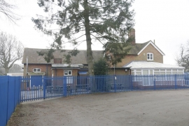
Fence at the School
-

Don't be a Fool
Fence at the School
Don't be a Fool
Location and coordinates are for the approximate centre of Stoke Row within this administrative area. Geographic features and populated places may cross administrative borders.