-
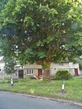
Green on High Street, Stoke Goldington
-
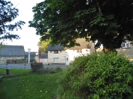
Green on High Street, Stoke Goldington
Green on High Street, Stoke Goldington
Green on High Street, Stoke Goldington
Location and coordinates are for the approximate centre of Stoke Goldington within this administrative area. Geographic features and populated places may cross administrative borders.