-
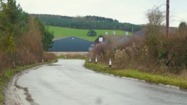
Trading estate at Stoke Edith
-
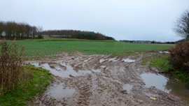
Muddy field entrance near Glebe Farm
Trading estate at Stoke Edith
Muddy field entrance near Glebe Farm
Other current and historical names
Location and coordinates are for the approximate centre of Stoke Edith within this administrative area. Geographic features and populated places may cross administrative borders.