-
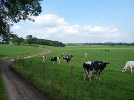
Bridleway to Park Farm
-
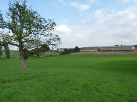
Stockton Grange from the northwest
Bridleway to Park Farm
Stockton Grange from the northwest
Location and coordinates are for the approximate centre of Stockton Roughs within this administrative area. Geographic features and populated places may cross administrative borders.