-

Road to East Farm
-
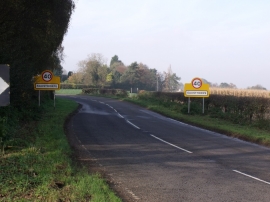
Entering Sausthorpe, Partney Road
Road to East Farm
Entering Sausthorpe, Partney Road
Location and coordinates are for the approximate centre of Stirbeck Plantation within this administrative area. Geographic features and populated places may cross administrative borders.