-
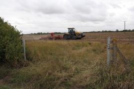
Ploughing in the manure at Steventon Field
-
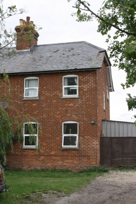
Goose Willow Cottage, Hanney Road
Ploughing in the manure at Steventon Field
Goose Willow Cottage, Hanney Road
Location and coordinates are for the approximate centre of Steventon Field within this administrative area. Geographic features and populated places may cross administrative borders.