-
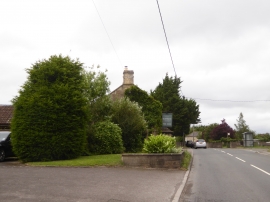
The Old Bear inn, Staverton
-
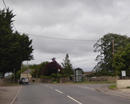
Bus shelter, Elm Close, Staverton
The Old Bear inn, Staverton
Bus shelter, Elm Close, Staverton
Other current and historical names
Location and coordinates are for the approximate centre of Staverton within this administrative area. Geographic features and populated places may cross administrative borders.