-
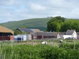
Church Farm and Milk Hill
-
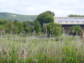
Church Farm and white horse
Church Farm and Milk Hill
Church Farm and white horse
Location and coordinates are for the approximate centre of Stanton St Bernard within this administrative area. Geographic features and populated places may cross administrative borders.