-
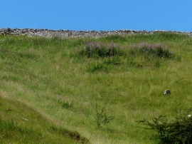
Dry stone wall overlooking Dovedale
-
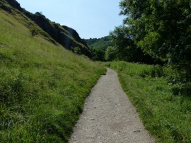
Path heading south through Dovedale
Dry stone wall overlooking Dovedale
Path heading south through Dovedale
Location and coordinates are for the approximate centre of Stanshope Pasture within this administrative area. Geographic features and populated places may cross administrative borders.