-
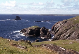
Ness of Hillswick, the western cliffs at Hu Field
-

Isle of Westerhouse from Braewick, Eshaness
Ness of Hillswick, the western cliffs at Hu Field
Isle of Westerhouse from Braewick, Eshaness
Location and coordinates are for the approximate centre of Stacks of Vannlip within this administrative area. Geographic features and populated places may cross administrative borders.