-
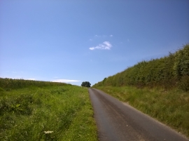
Road through War Dale
-
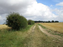
Farm track to East Heslerton Wold Farm
Road through War Dale
Farm track to East Heslerton Wold Farm
Location and coordinates are for the approximate centre of Stack Garth Plantation within this administrative area. Geographic features and populated places may cross administrative borders.