-
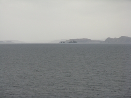
Some of the Summer Isles
-
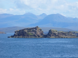
Stac Mhic Aonghais
Some of the Summer Isles
Stac Mhic Aonghais
Location and coordinates are for the approximate centre of Stac Mhic Aonghais within this administrative area. Geographic features and populated places may cross administrative borders.