-

Pitch 3 on The Devil's Slide
-
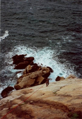
Abbing down to the bottom of The Devil's Slide
Pitch 3 on The Devil's Slide
Abbing down to the bottom of The Devil's Slide
Location and coordinates are for the approximate centre of St Peter's Stone within this administrative area. Geographic features and populated places may cross administrative borders.