-
Former bus garage, Vernon Road
-

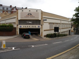
Bus garage, Vernon Road
Former bus garage, Vernon Road
Bus garage, Vernon Road
Location and coordinates are for the approximate centre of St Nicholas Cliff within this administrative area. Geographic features and populated places may cross administrative borders.