-
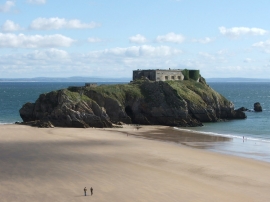
Fort St Catherine, Tenby, South Wales
-
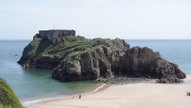
Tenby, St Catherine's Island
Fort St Catherine, Tenby, South Wales
Tenby, St Catherine's Island
Location and coordinates are for the approximate centre of St Catherine's Island within this administrative area. Geographic features and populated places may cross administrative borders.