-
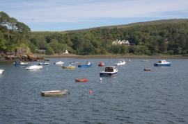
Boats in the harbour at Portree (Port Righ)
-
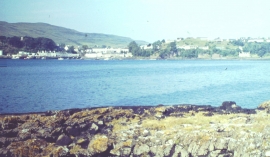
Portree, Village and Loch
Boats in the harbour at Portree (Port Righ)
Portree, Village and Loch
Location and coordinates are for the approximate centre of Sròn nan Cudaigean within this administrative area. Geographic features and populated places may cross administrative borders.