-
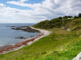
Rock strata at Navidale
-
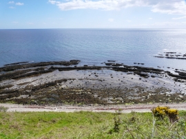
Navidale Bay
Rock strata at Navidale
Navidale Bay
Location and coordinates are for the approximate centre of Sròn a' Chròchair within this administrative area. Geographic features and populated places may cross administrative borders.