-
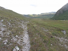
Old Road in Srath Coille na Fearna
-

Circular sheepfold near Strath Coille na Fearna
Old Road in Srath Coille na Fearna
Circular sheepfold near Strath Coille na Fearna
Location and coordinates are for the approximate centre of Srath Coille na Feàrna within this administrative area. Geographic features and populated places may cross administrative borders.