-
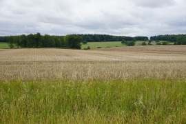
Slightly rolling fields near Ditchley Park
-
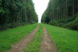
Beech Avenue, Ditchley Park
Slightly rolling fields near Ditchley Park
Beech Avenue, Ditchley Park
Location and coordinates are for the approximate centre of Spurnells Well Plantation within this administrative area. Geographic features and populated places may cross administrative borders.