-
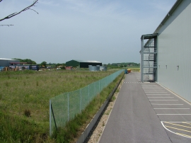
The side of the Hawkins Bazaar warehouse
-
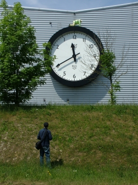
Staring in wonderment at Tim Hunkin clock
The side of the Hawkins Bazaar warehouse
Staring in wonderment at Tim Hunkin clock
Location and coordinates are for the approximate centre of Sprites Wood within this administrative area. Geographic features and populated places may cross administrative borders.