-
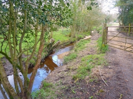
Passford Water at Battramsley
-
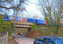
Train on Railway Bridge at Battramsley
Passford Water at Battramsley
Train on Railway Bridge at Battramsley
Location and coordinates are for the approximate centre of Springhill Copse within this administrative area. Geographic features and populated places may cross administrative borders.