-
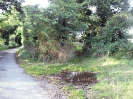
Start of Wash Lane (Track) off Rissemere Road East
-

Field south of Rissemere Lane East
Start of Wash Lane (Track) off Rissemere Road East
Field south of Rissemere Lane East
Location and coordinates are for the approximate centre of Spright's Covert within this administrative area. Geographic features and populated places may cross administrative borders.