-
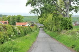
Road, hedge and houses at Spott
-
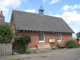
Spott Community Hall
Road, hedge and houses at Spott
Spott Community Hall
Location and coordinates are for the approximate centre of Spott within this administrative area. Geographic features and populated places may cross administrative borders.