-

Track through Spital Wood towards Drynie Park
-
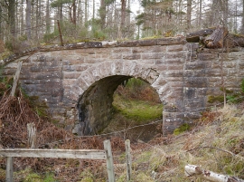
Old railway bridge, in Spittal Wood
Track through Spital Wood towards Drynie Park
Old railway bridge, in Spittal Wood
Location and coordinates are for the approximate centre of Spital Wood within this administrative area. Geographic features and populated places may cross administrative borders.