-
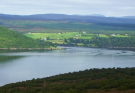
View of Spinningdale
-
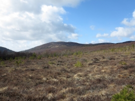
Heather slope with regenerating woodland
View of Spinningdale
Heather slope with regenerating woodland
Location and coordinates are for the approximate centre of Spinningdale Wood within this administrative area. Geographic features and populated places may cross administrative borders.