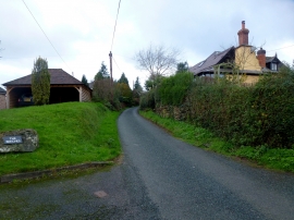
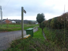
Spendle's Green, Herefordshire, County of

« Gazetteer Entry
Upload Photo

Spendle's Green, Herefordshire, County of

  • Parish/Community: Newton (Queenswood Ward)
  • Unitary Authority: Herefordshire, County of
  • Region: West Midlands
  • Category: Landcover
  • Type: Forest or Wood
  • Latitude/Longitude: 52°10'59"N 2°43'53"W
  • Eastings/Northings: 350087, 254121
  • OS Grid: SO500541
  • Mapcode Local: GBR FK.4P2B
  • Mapcode Global: VH852.LDV8

Location and coordinates are for the approximate centre of Spendle's Green within this administrative area. Geographic features and populated places may cross administrative borders.

BritishPlaceNames.uk is a Good Stuff website.