-
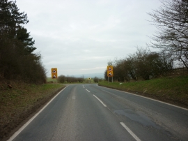
White Gate Hill towards the A1039
-
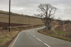
A1039 Flotmanby Lane heading west
White Gate Hill towards the A1039
A1039 Flotmanby Lane heading west
Location and coordinates are for the approximate centre of Spell Howe Plantation within this administrative area. Geographic features and populated places may cross administrative borders.