-
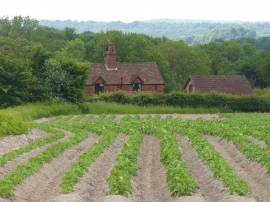
Potato Crop, Binsted
-
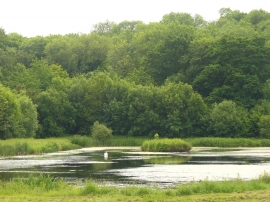
Binsted, Fish Pond
Potato Crop, Binsted
Binsted, Fish Pond
Location and coordinates are for the approximate centre of Sparkfield Hanger within this administrative area. Geographic features and populated places may cross administrative borders.