-
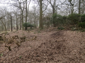
Rhododendron in Spankers Hill Wood
-
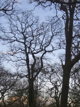
The woodland canopy in December, Spankers Hill Wood, Richmond Park
Rhododendron in Spankers Hill Wood
The woodland canopy in December, Spankers Hill Wood, Richmond Park
Location and coordinates are for the approximate centre of Spankers Hill Wood within this administrative area. Geographic features and populated places may cross administrative borders.