-
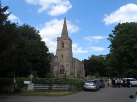
St Mary's. Southwick
-
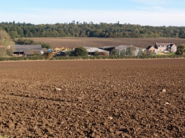
Vicarage farm near Southwick
St Mary's. Southwick
Vicarage farm near Southwick
Location and coordinates are for the approximate centre of Southwick Coppice within this administrative area. Geographic features and populated places may cross administrative borders.