-
The A30 westbound
-

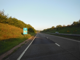
A30 eastbound, parking half a mile ahead
The A30 westbound
A30 eastbound, parking half a mile ahead
Location and coordinates are for the approximate centre of Southway Moor within this administrative area. Geographic features and populated places may cross administrative borders.