-

The A3090 at the junction of Merdon Castle Lane
-
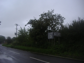
The A3090, Standon
The A3090 at the junction of Merdon Castle Lane
The A3090, Standon
Location and coordinates are for the approximate centre of Southlynch Plantation within this administrative area. Geographic features and populated places may cross administrative borders.