-
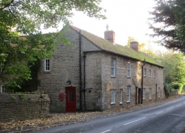
Roadside cottages, South Rauceby
-
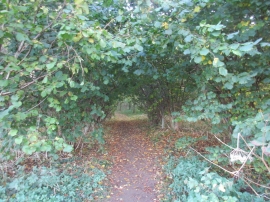
Path into Southgate Spinney
Roadside cottages, South Rauceby
Path into Southgate Spinney
Location and coordinates are for the approximate centre of Southgate Spinney within this administrative area. Geographic features and populated places may cross administrative borders.