-
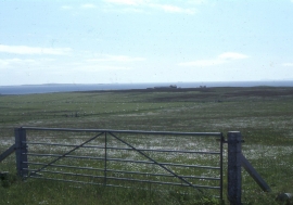
South Walls, near Eastbister: view south to Snelsetter
-
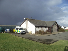
Hoy and Walls Health Centre
South Walls, near Eastbister: view south to Snelsetter
Hoy and Walls Health Centre
Location and coordinates are for the approximate centre of South Walls within this administrative area. Geographic features and populated places may cross administrative borders.