-
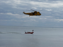
Flamborough / South Landing 'fun day' August 2011 (4)
-
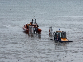
How to retrieve a RIB
Flamborough / South Landing 'fun day' August 2011 (4)
How to retrieve a RIB
Location and coordinates are for the approximate centre of South Sea within this administrative area. Geographic features and populated places may cross administrative borders.