-

Parkway traffic near Normanby
-
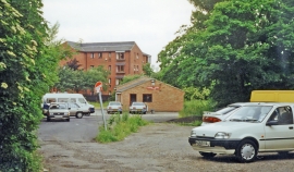
Site of former Eston station
Parkway traffic near Normanby
Site of former Eston station
Location and coordinates are for the approximate centre of South Park Wood within this administrative area. Geographic features and populated places may cross administrative borders.