-

Lavender garden in Vauxhall Park
-
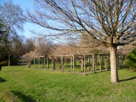
Vauxhall Park rose arbour
Lavender garden in Vauxhall Park
Vauxhall Park rose arbour
Other current and historical names
Location and coordinates are for the approximate centre of South Lambeth within this administrative area. Geographic features and populated places may cross administrative borders.