-
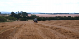
After the harvest
-
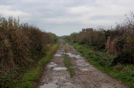
Muddy Track leading to Southfield Farm
After the harvest
Muddy Track leading to Southfield Farm
Location and coordinates are for the approximate centre of South Flat within this administrative area. Geographic features and populated places may cross administrative borders.