-

Lodge and gates to East Carleton Manor
-
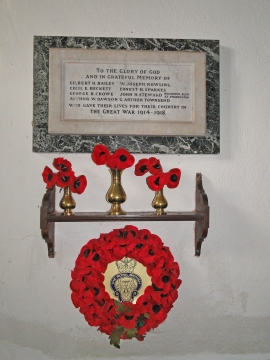
The War Memorial in East Carleton church
Lodge and gates to East Carleton Manor
The War Memorial in East Carleton church
Location and coordinates are for the approximate centre of South Drive Wood within this administrative area. Geographic features and populated places may cross administrative borders.