-
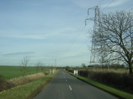
Wide open landscape, between Chawston and Colesden
-

Wide open landscape, between Chawston and Colesden
Wide open landscape, between Chawston and Colesden
Wide open landscape, between Chawston and Colesden
Location and coordinates are for the approximate centre of South Brook within this administrative area. Geographic features and populated places may cross administrative borders.