-
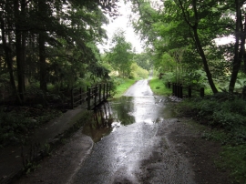
The ford at Sole Beck
-
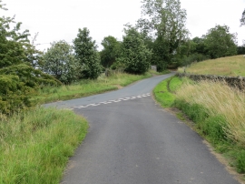
Junction of lanes at Ilton
The ford at Sole Beck
Junction of lanes at Ilton
Location and coordinates are for the approximate centre of Sole Beck Plantation within this administrative area. Geographic features and populated places may cross administrative borders.