-
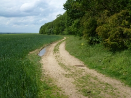
Track alongside Soigne Wood near West Acre
-

Railway truck in Soigne Wood
Track alongside Soigne Wood near West Acre
Railway truck in Soigne Wood
Location and coordinates are for the approximate centre of Soign within this administrative area. Geographic features and populated places may cross administrative borders.