-
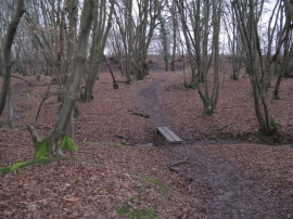
Footbridge over small stream near Downs Link path
-

Surface spring or sinkhole?
Footbridge over small stream near Downs Link path
Surface spring or sinkhole?
Location and coordinates are for the approximate centre of Smithers Rough within this administrative area. Geographic features and populated places may cross administrative borders.