-
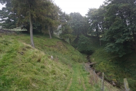
Beck in Smelter Plantation
-
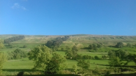
Hillside at Smelter Plantations
Beck in Smelter Plantation
Hillside at Smelter Plantations
Location and coordinates are for the approximate centre of Smelter Plantation within this administrative area. Geographic features and populated places may cross administrative borders.