-
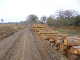
Slufters Inclosure, timber
-
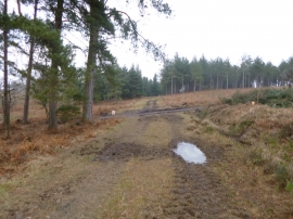
Slufters Inclosure, track junction
Slufters Inclosure, timber
Slufters Inclosure, track junction
Location and coordinates are for the approximate centre of Slufters Bottom within this administrative area. Geographic features and populated places may cross administrative borders.