-
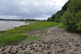
River Severn estuary at Sedbury
-
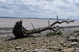
Large piece of driftwood in Severn Estuary
River Severn estuary at Sedbury
Large piece of driftwood in Severn Estuary
Location and coordinates are for the approximate centre of Slimeroad Sand within this administrative area. Geographic features and populated places may cross administrative borders.