-

Minor road in Hole Wood
-
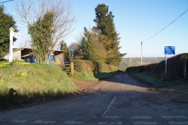
Lane to Ashreigney
Minor road in Hole Wood
Lane to Ashreigney
Location and coordinates are for the approximate centre of Slade Down Plantation within this administrative area. Geographic features and populated places may cross administrative borders.