-
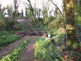
Former quarry in Skiftings Clump
-
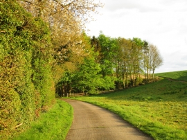
Farm access road and Skifting's Clump
Former quarry in Skiftings Clump
Farm access road and Skifting's Clump
Location and coordinates are for the approximate centre of Skiftings Clump within this administrative area. Geographic features and populated places may cross administrative borders.