-
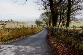
Cleveland Street Trail near Skelton Green
-
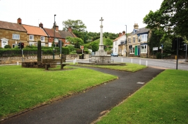
War memorial in Skelton
Cleveland Street Trail near Skelton Green
War memorial in Skelton
Location and coordinates are for the approximate centre of Skelton Green within this administrative area. Geographic features and populated places may cross administrative borders.