-
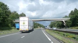
Sewage works access bridge crosses the M74
-
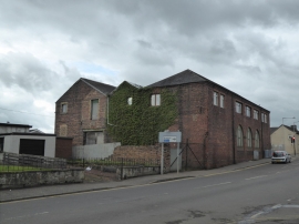
Old industrial building, Larkhall
Sewage works access bridge crosses the M74
Old industrial building, Larkhall
Location and coordinates are for the approximate centre of Skellyton Wood within this administrative area. Geographic features and populated places may cross administrative borders.